Assignment 04
| Name | Date |
|---|---|
| Release | 2024-10-30 |
| Submission | 2024-11-03 23:59 |
Overview
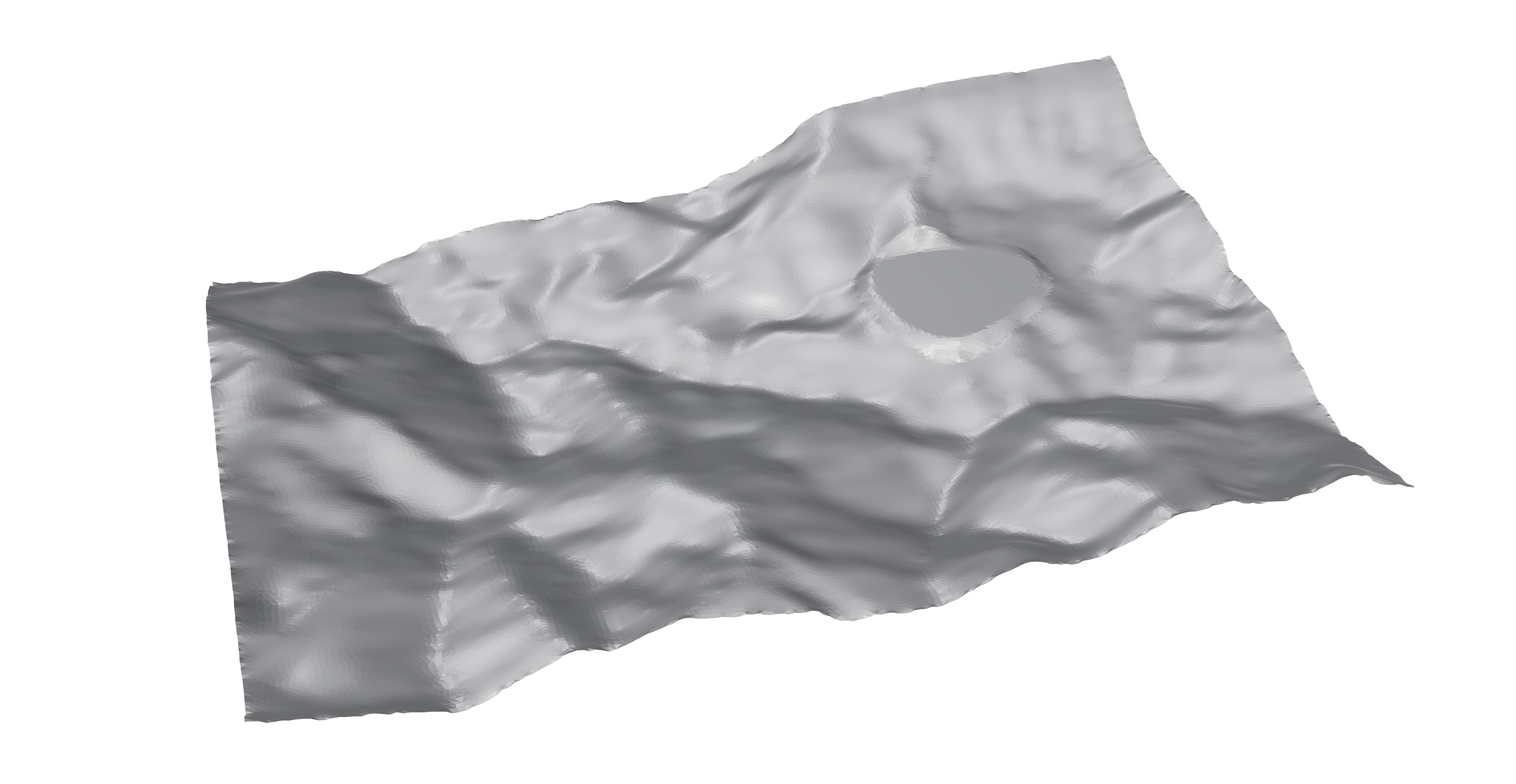
This assignment focuses on using the grasshopper plugin Bison to analyze and edit terrain. In this assignment, we first analyze the original terrain (Part A), then we edit the terrain by adding a terrace at given location and plan a path to access the terrace (Part B). Before solving those tasks, you are recommended to first check the documentation of Bison to have a general idea of functions of various components.
SetDotNetRuntime in Rhino, change the Runtime to NetFramework, and restart Rhino as mentioned in the email. Otherwise, the CutFill component might not work properly.Part A: Terrain Analysis (2 pts)
Task 01: Slope analysis
Perform slope analysis on the original terrain and visualize it.
Task 02: Elevation analysis
Perform elevation analysis on the original terrain and visualize it.
Part B: Terrain Adjustment (8 pts)
Task 01: Terrace Creation / Cut and Fill Analysis (2 pts)
In this task, we create a flat terrace in the mountainous terrain and analyze the volume of land to be cut or filled.
- Elevate the terrace boundary curve to 20 meters (can also be done in Rhino).
- Construct the flat terrace.
- Calculate the volume land to be cut or filled.

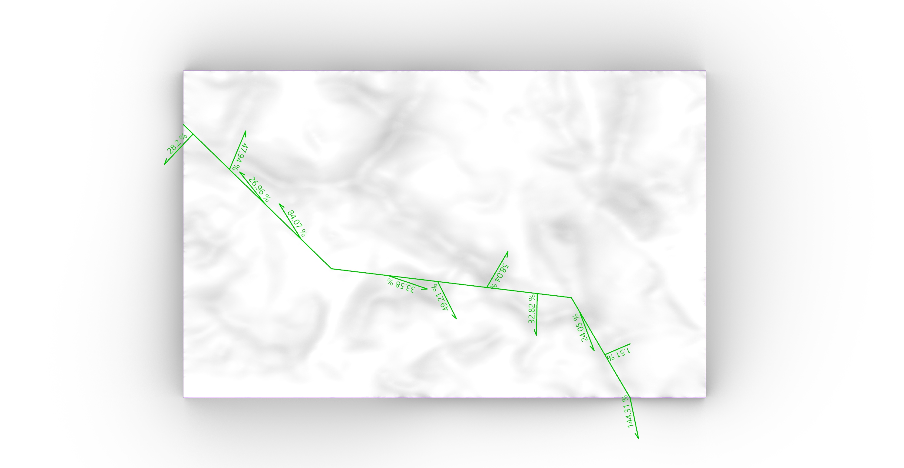
Task 02: Path Planning / Slope Analysis (2 pts)
- Create a planar path (curve or polyline) between points A and B that intersects the terrace.
- Suggested: Create the path in Rhino and reference it in Grasshopper.
- Conduct a slope analysis along the path.
- (Optional) Adjust the path such that the slope along the path would not be too steep. For example, you can reanalyze the edited terrain and then adjust the planar path following the low-slope area.

Task 03: Path Sections (2 pts)
- Generate a series of sections perpendicular to the planned path.
- Project the sections onto XY plane.
- Hint:
Section to XYcomponent.
- Hint:
Task 04: Path Creation on the Terrain / Viewshed Analysis (2 pts)
- Edit the terrain to create the path on the terrain along the planar path in Task 02.
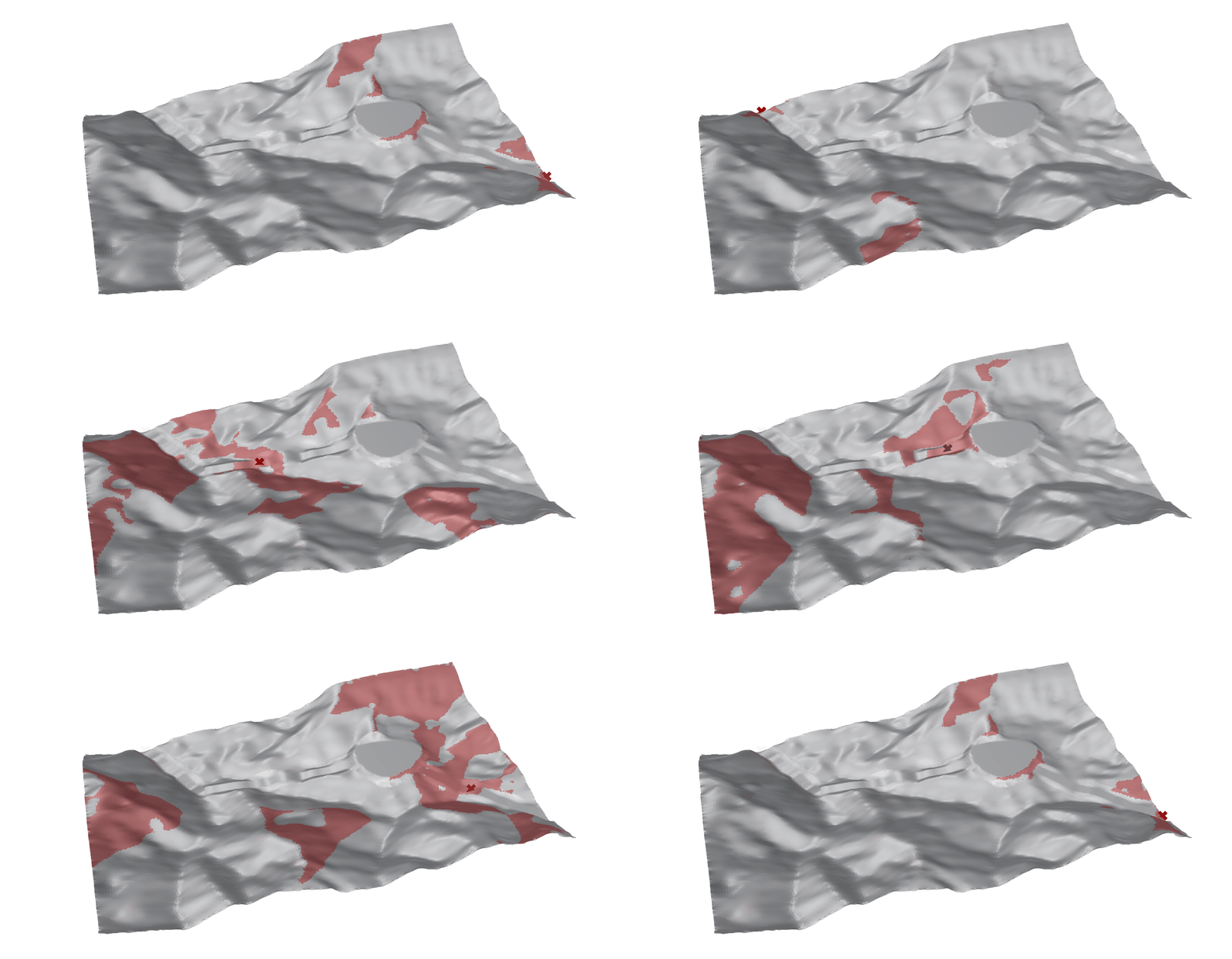
- Select up to 10 points along the path to perform a viewshed analysis. This will help illustrate what someone walking the path would see.
- To choose these points, you can first construct a section cut curve on the path and divide the curve. (Hint:
Section Profilecomponent) - Make sure these points are raised to eye level before running the analysis to simulate a human perspective.
- Keep the number of points (< 10) manageable to avoid heavy computation in viewshed analysis.
- To choose these points, you can first construct a section cut curve on the path and divide the curve. (Hint:

Input File
.3dm), please make sure you are using Meters unit system. You can switch to Meters by using commands Units if you are using other unit system.The corresponding input files are provided on the MscLA server.
Assignment_04.zip
Submission
Name the submission file(s) with the following format:
LastName_FirstName_TimeForCompletion_AS04.xxx
Please submit the corresponding file(s) to the submission folder Submission_AS04 on the server:
9_HS_24\02_MScLA-Semester-1\07_Digital-Design-Methods\Assignment\Submission_AS04
.3dm) and Grasshopper (.gh) files.
