Assignment 02

| Name | Date |
|---|---|
| Release | 2024-10-01 |
| Submission | 2024-10-06 23:59 |
Part A: Topography Modelling (6pts)
Landscape modeling is distinct from other disciplines in several respects. A primary distinction is the extensive use of topography and naturally occurring shapes. Often, these modeling processes are viewed as a "reconstruction" or "replication" of the actual landforms.
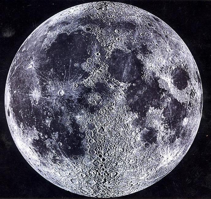
For this assignment, utilize the modeling techniques you've acquired in class to recreate various landscape topographies of the moon.
Hint
For some tasks, try to find "smarter" ways to reduce the modelling time.
The more task you can conduct, the more close you can get to the high-resolution geometry of the final landscape.
Task 01: 10x10 ptGrid (1pts)
With the given 10x10 point grid, construct a piece of landscape topography.
Task 02: 50x50 ptGrid (1pts)
Similar to task 01, construct the same piece of topography with a denser grid.
Task 03: 5k Point Cluster (2pts)
For this task, construct the same piece of topography with a randomly sampled point cluster.
Task 04-A: 30k Point Cloud (2pts)
Similar to task 03, construct the same piece of topography with a uniformly sampled point cloud.
Task 05-A: Contour Points (2pts)
Construct the same piece of topography with a countour-like point cluster.
Part B: Topography in GH (2pt + 2pt)
After the above tasks, you should have gotten a taste of how topography can be constructed in Rhino. Now, we're moving into the Grasshopper world and benefit from the associated data flow.
Task 04-B: Topograpy Reconstruction (2pt)
- Using the same base point set from Task 04A, reconstruct your topography in Grasshopper.
- Play with the parameters of the component(s) you used, and answer what are affecting the precision of your reconstructed topography.
- Try to reconstruct a different data representation (Mesh, NURBS surface) so that you have two pieces of topography with the differerent data representation.
- Compare them with the original point sets. Can you tell which one is more precise?
- (bonus) Can you quantify the precision difference?
Task 05-B (BONUS): Contour Reconstruction (2pt)
Using the base point set from Task 5, reconstruct the contour lines.
Input File
The corresponding input files are provided on the MscLA server.
Assignment_02.zip
Submission
Name the submission file(s) with the following format:
LastName_FirstName_TimeForCompletion_AS02.xxx
Please submit the corresponding file(s) to the submission folder submissionAS02 on the server:
9_HS_24\02_MScLA-Semester-1\07_Digital-Design-Methods\Assignment\Submission_AS02

